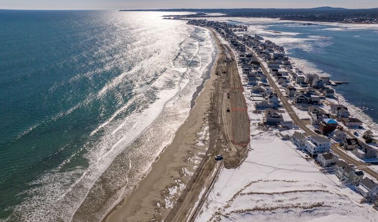
During the storms in January, hurricane-strength winds blew out of the southeast, directly at the Maine shoreline. In Acadia National Park, waves overtopped the shore, washing out a section of the Ocean Path, as wind funneled into the forest at Otter Point.
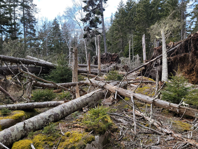
A few large spruce trees twisted and broke. Others, their roots loosened from the soggy, unfrozen ground, tipped over. As trees fell, they toppled other trees, creating a jumble of timber, like a giant’s game of pick-up sticks.
Spruce and fir, with shallow roots and and rigid branches that catch the wind, are among the most susceptible to wind. The buttressed trunks of northern white cedar, and the deep roots and thick branches of oaks, help keep those trees anchored. Birches bend and some branches break off, reducing wind drag and allowing the tree to survive.
Tree height is also a factor, and so is exposure. Southerly winds, gaining strength in their path across the water, are what made the January storms so impactful on a coastline that evolved with winter winds from the north.
The result appeared like a lot of mess and damage.
Spruce and fir, with shallow roots and and rigid branches that catch the wind, are among the most susceptible to wind.
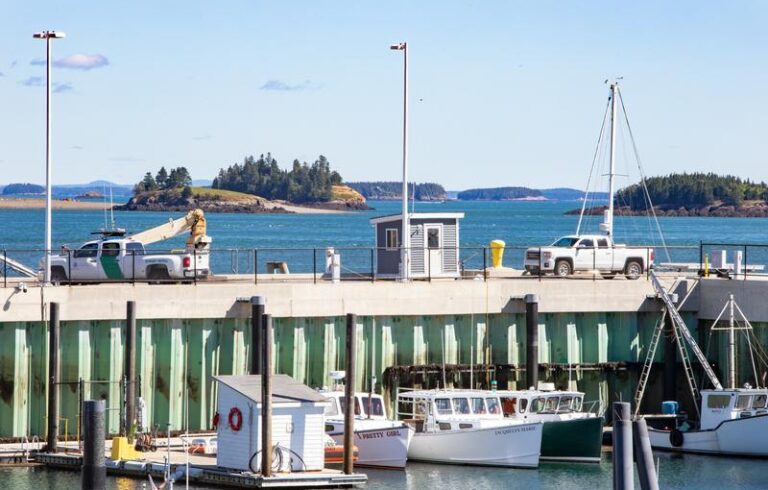
Trees were thrown by the wind along the islands of the Maine Island Trail. While islands located farther offshore bore the brunt of the wind, even coastal islands sheltered by bays were affected, according to Maine Island Trail Association program director Brian Marcaurelle. Many trees were felled as a result of shoreline erosion: waves washed away sand and gravel beaches and bluffs, leaving trees hanging on the edge, their roots exposed and dangling from ledges.
And it wasn’t just south-facing shores that were affected, said Marcaurelle. “The impact seemed to be in pockets, caused as much by tides and waves as wind,” he said. The organization is still assessing damage, but it had help from hardy volunteers with the Southern Maine Sea Kayaking Network, who surveyed and photographed many islands in February and March. York Land Trust and Downeast Salmon Federation also reported significant loss of trees.
While shocking to behold, such “windthrows” or “blowdowns” are among the major influences shaping the region’s forests.
From an ecological perspective, wind is a disturbance not in the negative sense, but simply as an agent of change that resets forest growth. So many large trees fell at Otter Point on MDI—13 in a fraction of an acre—that the forest is now an open clearing, with a few birches and two lone, tall spruces rising above the chaos.
But in between the fallen trees are lots of small spruce and fir, now to have their time in the sun, to take their place in the overstory. Until the next storm.
A question on many minds is whether or not last winter’s storms represent an anomaly or new normal, and whether more frequent windthrow will have a cumulative effect on coastal forests. Scientists studying the history of the region’s forests have estimated that major blowdowns occurred every 300 years or so. But how relevant is the past in today’s stormier climate? How many storms can the trees withstand, rooted in the already-thin soils of the Maine coast, clinging to edges of eroding islands? At Acadia National Park’s Sand Beach, where the January storms had eroded a bluff, another storm in March took down more trees, causing a landslide.
Winds across the Gulf of Maine have intensified, a trend expected to continue. Speed is important—a maximum wind gust of 95 miles per hour was recorded at Isle au Haut during the January storms—but so is direction.
An analysis of ocean circulation by researchers at Stonehill College and NOAA found “a statistically significant strengthening of the southwesterly winds” measured by NERACOOS buoys off the coast of York and Port Clyde. They concluded these winds may be responsible for a slowdown in the Gulf of Maine Coastal Current between 2001 and 2021.
But stronger southeasterly winds also mean new pressures on coastal forests.
In the near term, what to do with all that downed wood?
In Acadia, the National Park Service is repairing the Ocean Path but continues to evaluate impacts in other locations. At Seawall, crews removed some 700 fallen trees that blocked roads and created safety hazards in a popular picnic and camping area, but otherwise the blowdowns at Otter Point and other locations are being left in place.
Similarly, Maine Island Trail Association’s standard practice is to leave downed trees unless they block a trail or campsite.
Ecologists advise leaving downed wood because of its habitat value. Fallen trees form pits and mounds and other patches of habitat that foster greater diversity over time.
Shade-tolerant trees like balsam fir have a chance to grow tall, while feather mosses and creeping snowberry, goldthread, and bunchberry spread across sunlit ground. Fallen and broken trees become “coarse woody debris” that supports a whole host of mammals, birds, amphibians, insects, fungi, and lichens.
Along shore, dead wood helps anchor shorelines and protect against further erosion. And leaving dead wood on the ground also keeps carbon in the forest, a worthwhile consideration given the role of carbon emissions in the increased intensity and frequency of storms.
Catherine Schmitt is a science communications specialist with the Schoodic Institute.