‘No’ to Yard South
To the editor:
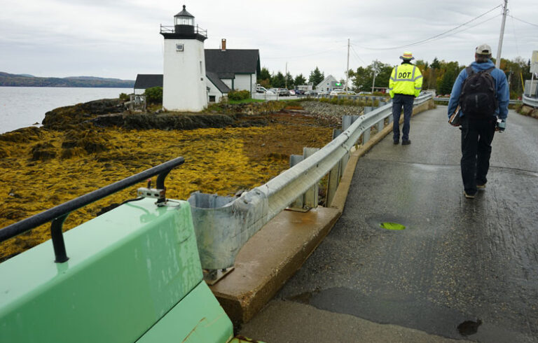
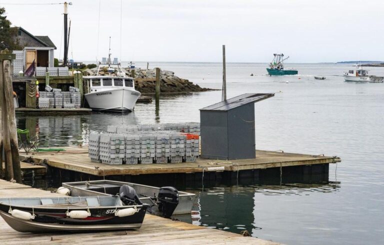
There is a brief opportunity to save waterfront on Portland Harbor, currently zoned industrial, for future marine commercial use. A 30-acre parcel that borders South Portland’s Bug Light Park and boat ramp to the east and an oil tank farm to the west is being considered for rezoning.
The current owners seek to build 1,000 residences, a mixture of six high-rise condos overlooking the park and Casco Bay, luxury single family homes, and 10% affordable housing, and call it “Yard South.”
The soil, contaminated from years of use as a World War II shipyard, is full of “urban fill,” used to elevate land. The property sits in a flood zone. When the sea rises and storms surge, it will leach contaminates. Heavy high-rise structures will sink. South Portland taxpayers will be left to pay for all infrastructure repair and contamination clean up.
Fishermen, seaweed farmers, lobstermen, ferries, boating building companies, and other maritime industries should take this opportunity to make their voices heard. As a group, you will be heard by state government officials in addition to South Portland’s city council and its planning department. Once this waterfront is re-zoned to residential, the potential to increase Casco Bay’s working waterfront is forever lost.
The South Portland Planning Board is basing their determination on the city’s 2012 Comprehensive Plan, which does not account for rising seas, temperature increases, and rain flooding due to climate change. Seven city councilors, not voting residents, have the final say as to whether this development will be rezoned and built.
Oh, and try not to cough—the adjacent oil tank farm regularly exceeds what the EPA allows for cancer-causing benzene carcinogens to be emitted. The city’s decision will be made soon. Please make your voices heard. Visit “No Yard South” on Facebook.
Pamela Thomas
South Portland
Blue Hill photograph
To the editor:
I’m the adjutant and finance officer for Duffy-Wescott Post 85 in Blue Hill with a family association of the town for almost 100 years and a full time resident of the town for ten.
The photo on page 9 in the September issue shows what was then known as Main Street but that now is referred to as Tenny Hill Road. The building shown was the third version of a building on that site. The first was a wood structure for the Blue Hill Academy built in 1803, the second built in the same location, but a brick structure, and the one shown depicts the 1909 version that added the buttresses and some other modifications.
It is currently undergoing its fourth “modification,” as long as money allows us to complete it.
At that time, Tenny Hill was dirt as were many of the roads in town and as I vaguely remember, it did not get paved (nor did South Street) until the early 1960s. The utility poles on the right carry telegraph and phone lines and those on the left carry power, so this was taken after about 1913 or so. A lot has changed, including the width of the road. Many on that road lost much of their front yards.
The building has experienced much, though in 1889 its purpose was modified when the Blue Hill-George Stevens Academy opened its doors as the secondary school for the area.
Butler Smythe
Blue Hill