On Feb. 9, 1895, 130 years before this January’s devastating storm, the Secretary of War submitted to Congress a plan for constructing a breakwater from Lane’s Island—connected to Vinalhaven by a bridge—to Green Ledge to the west, a distance of more than a quarter mile.
The plan was submitted in accordance with the most recent—six months earlier—iteration of the River and Harbor Act, which was first enacted in the early part of that century. The Act was generally intended to ensure safe passage, riparian rights, and defense of the nation’s many navigable salt and fresh waterways.
In this instance, the plan was submitted with the intent of protecting Carvers Harbor from southern storm surges—those same surges that visited us this January with such chaotic enthusiasm, hand in hand with extreme tides—and from accumulating sediment because at the time, Carvers Harbor was a valued and very busy commercial hub, shipping its prized granite all over the country.
In a few instances, long causeways or small bridges were destroyed to such an extent that the homes otherwise accessed could no longer be reached.
That wall was obviously never built, but it’s interesting to note it was once contemplated as today the island addresses the increasing likelihood of sea levels and—when coupled with strong southeast winds—storm surges, continuing to rise and threaten the village community and downtown area.
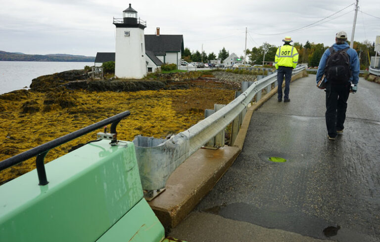
Seawalls ranging from a modest berm around the town parking lot to individual granite or steel barriers here and there around the harbor, to re-enforcing and perhaps adding to the huge grout-filled cubes at the ferry terminal—which in January spelled the difference between taking on a little water and devastation—to a gated breakwater from Potato Island to Norton’s Point are among the proposals being considered by some and by the town’s downtown revitalization and sea level rise committees.
The two southeast January storms, arriving only a few days apart, were problematic for some but disastrous for others.
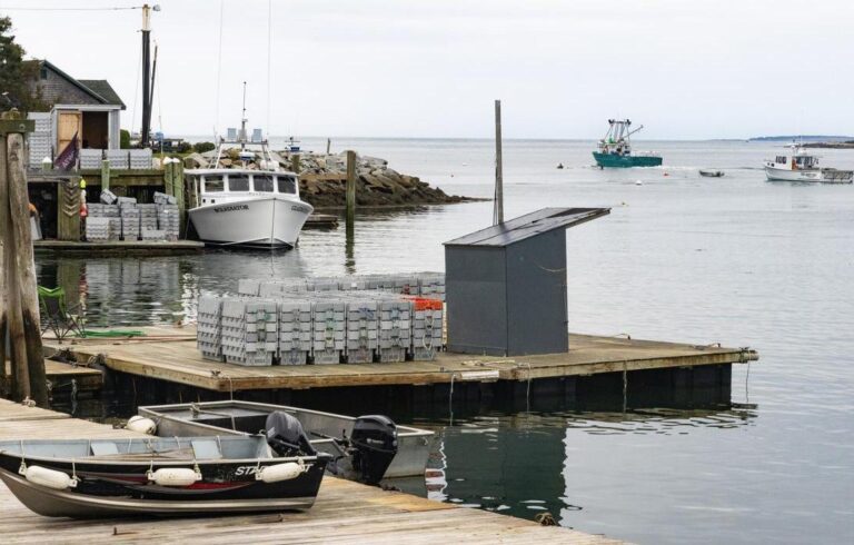
Many waterfront docks that had stood for decades and which were critically important to the individual fisherman affected, were damaged, badly damaged, or in too many instances, completely destroyed. Similarly, dozens of the waterfront docks all around the island that are such an important part of what makes Vinalhaven and our neighboring islands such popular seasonal destinations, were destroyed and washed away.
In a few instances, long causeways or small bridges were destroyed to such an extent that the homes otherwise accessed could no longer be reached. For several hours during those events more than half of Vinalhaven could not be reached by emergency services. Fortunately, there was no such need but if it had been otherwise, house fires could not have been contained and life-threatening health emergencies could not have been addressed.
Ultimately Vinalhaven, as a community or as individuals, will need to take preventative measures to protect vulnerable island properties and foremost among these are downtown and waterfront properties around the harbor. Maybe that will be a seawall or seawalls, maybe we raise susceptible downtown buildings and wade to them at high tide, or maybe we move the entire commercial area inland to higher ground and cast the area we’ve known as downtown for so long to its fate.
Whatever the ultimate solution, rising sea levels are a problem that needs to be addressed now, not years from now when the careful consideration available to us now is no longer an option.
On the other hand, the whole business is so overwhelming it’s easy to simply ignore. “What’s the point?” After all, it won’t overwhelm “us” until after most of “us” are gone. But we do have kids and grandkids who will still be here and dealing with either the provisions for sustainability that we set in motion now or the mess that we didn’t.
Phil Crossman owns the Tidewater Motel on Vinalhaven and has served on the town select board. He may be contacted at philcrossman.vh@gmail.com.


