By Meghan Grabill
When I moved here over a year ago, people asked me what connection I had to Maine. What brought me here? My response: I had visited once as a teenager on a family trip and when a job opportunity presented itself on the coast of Maine I jumped in, dragging along my husband and two dogs from the Midwest.
I always feel a little juvenile sharing this with people, and the quizzical looks on their faces enforces my discomfort with relating the truth. Who makes a major life decision based on impressions formed during a weeklong vacation?
Common sense tells us that the more time one spends experiencing a place, the better one would understand its character, but impressions can be distorted by the types of experiences one is exposed to and flawed by all manner of unknowable limitations. Therefore, the length of time one spends forming impressions about a place may have very little to do with the accuracy of the representation of that place.
As I started my job at the Island Institute doing data analysis and translation, someone explained to me it was like trying to hold a mirror up to the coast and islands of Maine to allow them to look at themselves. Sometimes the impressions we have about ourselves turn out to be exactly right and other times they are a little flawed; but a mirror never lies.
While I like this mirror analogy as the ultimate goal of my work, I am enough of a realist about data analysis to know it has its limitations. Instead, I think of my job as a variation on art. People may capture their truth in abstract or realist watercolors, or oil paintings, or sculpture. I come in with a tool, like a camera, apply different filters and lenses and end up with a different presentation of truth.
Is my method superior? Well, that depends on what the end goal is. Was it to describe exactly what the tangible objects and measurable facts are? Then yes. Or was it to describe a feeling or ethereal thought? Then probably not.
In our Waypoints publications, a timely topic relevant to the coast and islands of Maine is explored through publicly available data. The data is cleaned, analyzed, and presented in what we hope is a visually appealing format. Out of this analysis comes not only the publication but also many other resources related to the topic that is made available on the web.
In the most recent publication, Waypoints: Connect, physical, economic, and civic infrastructure were explored.
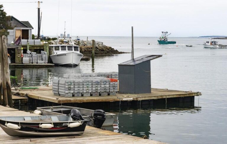
The protection of working waterfront through state and federal programs was one topic covered, and our analysis showed that many communities are not taking advantage of programs used to protect these access points. As of the printing of the publication, only 17 percent of communities had a property in the Working Waterfront Access Protection Program administered by the Land for Maine’s Future program.
Infrastructure is integral to the patterns and connections in Maine’s island and coastal communities. If this infrastructure is threatened, it can ruin the entire fabric of how we live.
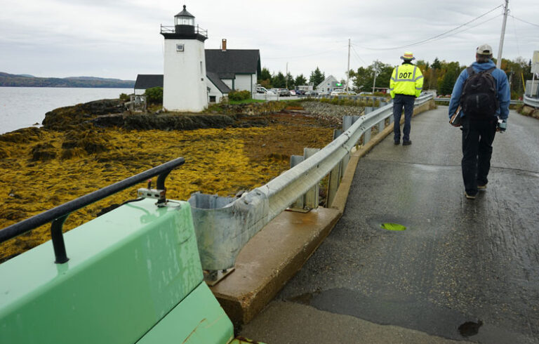
The vulnerability of our road infrastructure to sea level rise is also covered. Given Maine’s unique coastline of peninsulas and bridged islands, 2 feet of sea level rise could hamper emergency accessibility in some communities.
Low spots in the Sagadahoc County towns of Arrowsic and Georgetown could mean roads would be inundated and impassable, cutting off 97 percent of the road surfaces to emergency services. This vulnerability not only points to deficiencies related to safety, but also the costs associated with upgrading or repairing infrastructure.
As the coast faces constant change and the need to be resilient becomes more pressing, it is important that facts are known and can be agreed upon. Experience and first-hand knowledge are how humans form our opinions and decide on a course of action. Data can reveal things not before known, reinforce what was known, or give a new lens to view what was assumed known.
Sometimes impressions turn out to be spot on. As I have learned more about the coast of Maine, I find my impressions from nearly two decades ago were pretty close to accurate. Lobster fresh from the ocean is much better than lobster by mail order. Sunrises on the coast are spectacular. The people in Maine are friendly and unbelievably helpful.
The new facts and experiences I gather have only increased my appreciation for my new, adopted home.
Meghan Grabill is a community development officer with the Island Institute where she is responsible for data analysis and translation, as well as GIS work capturing, analyzing, and managing geographic data.


